 how-to
5 Steps to Evaluate Yacht Navigation Electronics
Last Updated: October 26, 2026
Quick Summary
To evaluate yacht navigation electronics, build a checklist of your core systems needs, assess chartplotter quality and GPS accuracy, verify compatibility between devices using NMEA 2000 standards, test radar and depth sounder performance, and conduct a sea trial in real operating conditions to confirm all systems work together safely.
- The global marine electronics market reached $7.0 billion in 2025 and is projected to grow to $12.5 billion by 2033.
- A complete yacht navigation system includes GPS receivers, chartplotters, multifunction displays, autopilots, radar, depth sounders, and VHF radios.
- Chartplotter screens should have at least 1,000 nits brightness and 1920 x 1200 resolution for readability in sunlight.
- NMEA 2000 networks enable two-way data sharing between devices, while older NMEA 0183 requires converters and adds complexity.
- A sea trial should test GPS accuracy within 10 feet, radar detection at 10-15 nautical miles, and autopilot steering in various sea states.
Table of Contents
- Why Evaluating Yacht Navigation Electronics Matters
- Step 1: Build Your Yacht Navigation System Checklist
- Step 2: How to Choose a Marine Chartplotter
- Step 3: Verify Marine Electronics Compatibility
- Step 4: Assess Radar, GPS, and Depth Data Accuracy
- Step 5: Conduct a Yacht Electronics Sea Trial
- Plan Your Navigation Electronics Upgrade Path
- Get Expert Guidance on Your Yacht's Navigation Setup
- Frequently Asked Questions
Why Evaluating Yacht Navigation Electronics Matters
Choosing the right yacht navigation electronics is one of the most critical decisions you'll make as a boat owner. Your systems determine whether you can navigate safely in poor visibility, respond to emergencies, and maintain situational awareness underway.
The marine electronics market is growing fast. According to Grand View Research's marine electronics market analysis, the global marine electronics market reached $7.0 billion in 2025 and is projected to grow to $12.5 billion by 2033, a compound annual growth rate of 7.7%.
Here's what most boat owners get wrong: they assume all navigation systems work the same way. A chartplotter that works fine in calm coastal waters may struggle with radar interpretation in heavy weather.
This guide walks you through five concrete steps to evaluate yacht navigation electronics for your specific boat, conditions, and budget: build a checklist, assess core systems, verify compatibility, test accuracy, and conduct a real-world sea trial. Establishing these foundational requirements provides the necessary framework to verify electronic specifications before committing to hardware that may not align with your vessel's technical demands.
Step 1: Build Your Yacht Navigation System Checklist
Start by defining what your yacht navigation system needs to do. Don't buy equipment yet. List the conditions you'll face, the redundancy you need, and the core systems that matter most for your style of boating.
Core systems to assess
A complete yacht navigation system includes several interconnected components. GPS receivers provide position data. Chartplotters display electronic charts and your vessel's position. Multifunction displays integrate radar, sonar, GPS, and autopilot data on a single screen. Autopilots steer based on navigation commands. Radar detects objects and weather beyond visual range. Depth sounders measure water depth and display sonar data. VHF radios handle communication.
Not every boat needs every system. A day-fishing center console might prioritize GPS accuracy and a good depth sounder. A cruising yacht heading offshore needs redundant chartplotters, radar, and autopilot. A coastal fishing boat might skip radar entirely.
Write down which systems are essential for your use case:
- GPS receiver and position accuracy
- Chartplotter or multifunction display
- Radar (if you operate in low-visibility conditions)
Redundancy and backup requirements
This is where most boat owners cut corners, and regret it. Redundancy isn't luxury; it's survival. If your single chartplotter fails offshore, you need a backup. If your GPS loses signal, you need a compass and paper charts.
Ask yourself: Will you operate at night or in low visibility? Do you fish or cruise more than 20 miles offshore? What happens if your primary chartplotter fails?
Step 2: How to Choose a Marine Chartplotter
The chartplotter is the brain of your navigation system, displaying electronic charts, your position, waypoints, routes, and integrated sensor data. Choosing the right one depends on screen size, chart data quality, and integration with your other systems.
Screen size and console integration
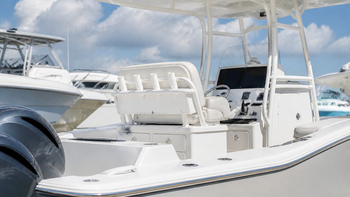
Chartplotter screen size matters more than most boat owners realize. A 5-inch display is hard to read in bright sunlight; a 12-inch screen gives much better visibility of chart detail. How to Protect Center Console Boat Electronics From Sun covers practical steps to shield expensive displays from UV damage and heat.
Measure your console space before shopping, accounting for bezel width and mounting depth, a large multifunction display might need 3 to 4 inches behind the console. For brightness, look for at least 1,000 nits; antiglare coatings help but reduce color accuracy, so test displays in bright light. Resolution matters too: 1920 x 1200 on a 9-inch screen is sharper than 1024 x 768.
How to Protect Center Console Boat Electronics From Sun covers practical steps to shield expensive displays from UV damage and heat.
Chart data quality and update frequency
Electronic charts are only as good as their underlying data. Outdated charts show old depth soundings, missing hazards, or inaccurate coastlines.
Test chart readability on the actual display: depth contours, hazard symbols, and text legibility matter in real time. Also verify your chartplotter supports your preferred chart format, most modern systems support multiple formats, but compatibility isn't guaranteed.
Step 3: Verify Marine Electronics Compatibility
This is where system integration makes or breaks your setup. Incompatible electronics create data silos. Your chartplotter can't see radar data. Your autopilot can't access GPS position. You lose the synergy that makes modern navigation systems powerful.
Network standards and data sharing
Modern marine electronics communicate over standardized networks. NMEA 0183 is the older standard, a serial connection sending one-way data streams. NMEA 2000 is newer, faster, and two-way, letting devices share data bidirectionally and support more complex commands.
Check whether your equipment uses the same standard. Mixing NMEA 0183 and NMEA 2000 requires converters, adding cost and complexity. Newer systems should support NMEA 2000 or proprietary high-speed networks like Garmin's HomePort or Simrad's SimNet.
Ask your dealer:
- Does the chartplotter support NMEA 2000?
- Can the autopilot receive GPS data directly from the chartplotter?
- Does the radar integrate with the multifunction display?
Test data sharing before installation. Some systems claim compatibility but deliver poor performance in real conditions.
Power budget and installation constraints
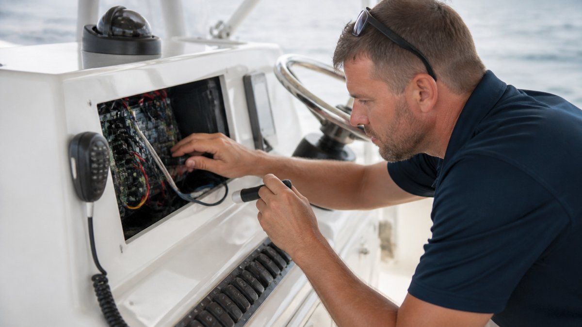
Marine electronics draw significant power. A large multifunction display, autopilot, radar, and GPS receiver can consume 50 to 100 amps at peak, and your electrical system must handle that load without voltage sag.
Reach out now to see how we can help with your boating needs! →
Calculate your total power draw:
- Multifunction display: 15-25 amps
- Autopilot: 10-20 amps
- Radar: 20-30 amps
Add 20% margin for safety. If your total exceeds your battery capacity or alternator output, you need a larger electrical system. Modernizing Yacht Electrical and Propulsion Systems explains how to evaluate and upgrade electrical infrastructure.
Installation constraints include antenna placement, cable routing, and transducer mounting.
Step 4: Assess Radar, GPS, and Depth Data Accuracy
Accuracy is where navigation systems separate into tiers. A consumer-grade GPS receiver is accurate to within 30 feet; a marine-grade WAAS-corrected receiver to within 3 feet. That difference matters when threading a narrow channel or anchoring in a tight spot.
GPS position accuracy and receiver quality
GPS accuracy depends on receiver quality, atmospheric conditions, and signal obstruction. WAAS (Wide Area Augmentation System) improves accuracy to about 3 feet. DGPS (Differential GPS) reaches 1 to 3 feet but requires a ground station. RTK GPS (Real-Time Kinematic) achieves inches but costs significantly more and requires a correction-service subscription.
For most recreational boating, WAAS-corrected GPS is sufficient. Test your receiver by anchoring in a known location and watching position drift: under 10 feet is excellent, over 30 feet suggests a weak receiver or poor antenna placement.
Radar performance and situational awareness
Radar detects objects and weather beyond visual range. Performance depends on antenna size, transmitter power, and display quality. Larger antennas (typically 4 to 6 feet) provide better range and resolution, and higher power (typically 2 to 4 kilowatts) improves detection of small objects.
Test radar in real conditions before buying, rain clutter, sea clutter, and antenna vibration affect performance, and some systems filter clutter better than others.
Depth sounder reliability and sonar interpretation
Depth sounders measure water depth by transmitting a sound wave and timing the return echo. Accuracy depends on transducer quality, hull material, and water conditions. Through-hull transducers are most reliable; transom-mounted units work but are more susceptible to turbulence and aeration.
Frequency matters: lower frequencies (50 kHz) penetrate deeper and work better in murky water, while higher frequencies (200 kHz) provide better resolution in shallow water. Dual-frequency transducers offer both.
Step 5: Conduct a Yacht Electronics Sea Trial
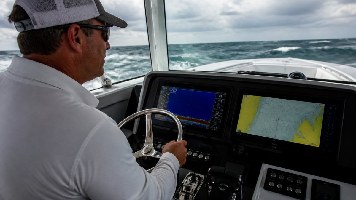
You can't evaluate yacht navigation electronics from a dock. Test them underway in real conditions, a proper sea trial reveals performance issues that never show up in the showroom.
What to test underway
Plan a sea trial covering your typical operating conditions, offshore if you fish offshore, coastal if you cruise coastal. Here's what to check:
- GPS accuracy: Anchor in a known location and observe position drift over 15 minutes. Drift should be under 10 feet.
- Chartplotter performance: Navigate a known route using only the chartplotter. Does chart data match real-world features? Are waypoints and routes easy to set and modify?
- Radar: Check radar performance in clear conditions, rain, and sea state. Can you detect other vessels? Can you identify weather patterns?
Take notes on every issue, no matter how minor. Small problems in testing become major frustrations on the water.
Failure modes and backup navigation
Use the sea trial to test your backup navigation plan. If your primary chartplotter fails, can you navigate with your backup GPS and paper charts?
Practice with backup systems before you need them: know where your paper charts are, how to read them, how to take a compass bearing, and how to estimate position by dead reckoning.
Plan Your Navigation Electronics Upgrade Path
Navigation technology evolves constantly, so plan for upgrades from the start. Upgrading Yacht Navigation Systems: Key Benefits outlines the benefits and planning process for modernizing your navigation setup as technology advances and your boating needs change.
Upgrading Yacht Navigation Systems: Key Benefits outlines the benefits and planning process for modernizing your navigation setup as technology advances and your boating needs change.
Consider total cost of ownership, not just purchase price. Cheap electronics often cost more over time because they fail, require frequent updates, or don't integrate.
Get Expert Guidance on Your Yacht's Navigation Setup
Evaluating yacht navigation electronics is complex. The right choice depends on your boat, operating conditions, budget, and tolerance for technical complexity, and getting it wrong costs money and creates safety risks.
Reach out now to see how we can help with your boating needs.
| Navigation System Component | Key Evaluation Criteria | Why It Matters |
|---|---|---|
| GPS Receiver | WAAS correction, accuracy to 3 feet, antenna placement | Reliable position data is foundation for all navigation |
| Chartplotter | Screen brightness (1,000+ nits), resolution (1920 x 1200+), chart update frequency | Readability and current chart data prevent navigation errors |
| Multifunction Display | NMEA 2000 compatibility, data integration, sonar clarity | Integrated data reduces workload and improves situational awareness |
| Radar | Antenna size (4-6 feet), transmitter power (2-4 kW), clutter filtering | Extended range detection in low-visibility conditions |
| Depth Sounder | Transducer quality, dual frequency (50/200 kHz), sonar display clarity | Accurate depth and bottom composition data prevent groundings |
| Autopilot | Course-holding accuracy, GPS integration, sea state responsiveness | Reduces fatigue and improves navigation precision on long runs |
| Backup Navigation | Paper charts, compass, handheld GPS, redundant displays | Safety fallback when primary systems fail |
Frequently Asked Questions
What electronics should a yacht have for navigation?
A complete navigation suite includes a multifunction display with chartplotter, GPS receiver, radar, autopilot, and depth sounder. Redundancy is critical: carry a backup GPS unit and paper charts. Electronic chart plotting reduces collision risk, while radar provides situational awareness in low visibility. Autopilot reduces crew fatigue on long offshore runs. Each system should integrate with your boat's network for centralized data sharing and easier interpretation of navigation data.
How do you evaluate a marine chartplotter when selecting equipment?
Compare screen size against your console space and helm visibility from the steering position. Verify chart update frequency and coverage for your cruising area. Test the user interface for ease of use under rough conditions and at night. Confirm network compatibility with your other marine electronics to enable data sharing. Check processing speed when zooming and panning charts. Assess power budget requirements against your boat's electrical capacity. Ask whether the manufacturer offers firmware updates and how long they support the model.
Can different brands of marine electronics work together?
Yes, if they follow open standards like NMEA 0183 or NMEA 2000. NMEA 2000 networks allow GPS receivers, chartplotters, autopilots, and depth sounders from different manufacturers to share navigation data and communicate. Before purchasing, confirm each device's network compatibility specifications. Some older marine electronics use proprietary formats and cannot interoperate. Modern systems emphasize system integration, but always verify data sharing capability with your dealer before installation.
What should you test during a yacht electronics sea trial?
Underway, verify GPS accuracy by comparing position fixes to known landmarks. Test radar in various sea states and weather to confirm target detection and range accuracy. Operate the autopilot in different sea conditions to assess steering stability and power consumption. Check depth sounder readings against chart data and known bathymetry. Simulate a major system failure to verify backup navigation procedures and redundancy. Assess screen visibility in bright sunlight and at night. Confirm that all data displays remain readable and functional during rough offshore conditions.